
File:Topographic map of Cape Verde-en.svg
Size of this preview: 640 × 475 pixels.
| |
This is a file from the Wikimedia Commons. Information from its description page there is shown below.
Commons is a freely licensed media file repository. You can help. |
![]() ✓ The source code of this SVG is valid.
✓ The source code of this SVG is valid.
|
|
This vector image was created with Inkscape, and then manually edited. |
Summary
| Description |
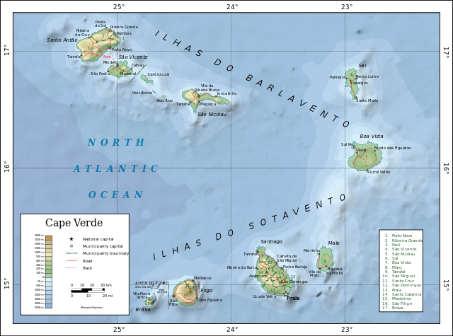
English: Topographic map of Cape Verde.
Dansk: Topografisk kort over Kap Verde.
Español: Mapa topográfico de Cabo Verde.
Suomi: Kap Verden topografinen kartta.
Français : Carte topographique du Cap-Vert.
Македонски: Карта на Зелен ’Рт.
Русский: Топографическая карта Кабо-Верде. Македонски |
| Date | 19 May 2008 |
| Source | Self-made in Inkscape.
|
| Author | Oona Räisänen ( Mysid) |
| |
This SVG file uses embedded text that can be easily translated into your language using this automated tool. Learn more. You can also download it and translate it manually using a text editor.
|
Licensing
|

File usage
The following pages on Schools Wikipedia link to this image (list may be incomplete):
Metadata
Find out more
Wikipedia for Schools was collected by SOS Children's Villages. SOS Children's Villages is famous for the love and shelter it brings to lone children, but we also support families in the areas around our Children's Villages, helping those who need us the most. Sponsoring a child is a great way to help children who need your support.