
File:Topographic map of Åland.svg
Size of this preview: 633 × 480 pixels.
| |
This is a file from the Wikimedia Commons. Information from its description page there is shown below.
Commons is a freely licensed media file repository. You can help. |
Summary
|
|
This vector image was created with Inkscape. |
| Description |
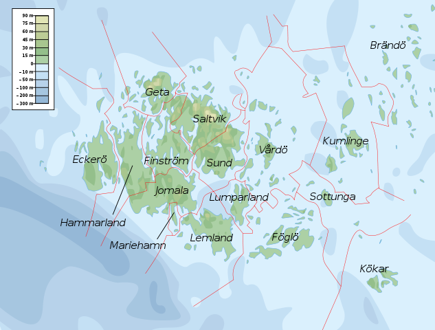
English: Topographic map of the Åland Islands.
Français : Carte topographique des îles d' Åland.
Suomi: Ahvenanmaan topografinen kartta.
|
| Date | 12 February 2008 |
| Source | Self-made in Inkscape. Boundaries and municipality borders based on Image:Alandmunicipalities.png. Topography based on public domain GLOBE data from NOAA ( http://www.ngdc.noaa.gov/mgg/topo/gltiles.html). Bathymetry adapted after a small slice from T. Seifert, F. Tauber, B. Kayser: 2001: "A high resolution spherical grid topography of the Baltic Sea – 2nd edition", Baltic Sea Science Congress, Stockholm 25-29. November 2001, Poster #147, www.io-warnemuende.de/iowtopo. Colors and overall look based on maps by User:Bamse. |
| Author | Mysid |
| |
This SVG file uses embedded text that can be easily translated into your language using this automated tool. Learn more. You can also download it and translate it manually using a text editor.
|
Licensing
|

File usage
The following pages on Schools Wikipedia link to this image (list may be incomplete):
Metadata
Did you know...?
Wikipedia for Schools is one of SOS Children's Villages' many educational projects. SOS Childrens Villages cares for children who have lost their parents. Our Children's Villages give these children a new home and a new family, while a high-quality education and the best of medical care ensures they will grow up with all they need to succeed in adult life. You can help by sponsoring a child.