
File:ReducedChew valley area satellite.png
ReducedChew_valley_area_satellite.png (608 × 362 pixels, file size: 550 KB, MIME type: image/png)
| |
This is a file from the Wikimedia Commons. Information from its description page there is shown below.
Commons is a freely licensed media file repository. You can help. |
Summary
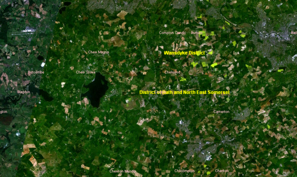
| Description | English: Chew Valley
|
| Date | 24 March 2006 (original upload date) |
| Source | Cropped Chew Valley from Image:Chew valley area satellite.png one uploaded by Astrokey44 - Which is a screenshot using NASA's world wind program |
| Author |
Licensing
 |
This image is in the public domain because it is a screenshot from NASA’s globe software World Wind using a public domain layer, such as Blue Marble, MODIS, Landsat, SRTM, USGS or GLOBE.
|
|
File usage
The following pages on Schools Wikipedia link to this image (list may be incomplete):
Background information
SOS Children chose the best bits of Wikipedia to help you learn. SOS Children works in 133 countries and territories across the globe, helps more than 62,000 children, and reaches over 2 million people in total. There are many ways to help with SOS Children's Villages.