
File:Weston Lock, Bath.jpg
Weston_Lock,_Bath.jpg (640 × 424 pixels, file size: 137 KB, MIME type: image/jpeg)
| |
This is a file from the Wikimedia Commons. Information from its description page there is shown below.
Commons is a freely licensed media file repository. You can help. |
| Description |
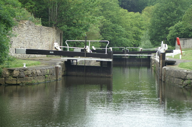
English: Weston Lock, Bath. At the bottom end of Weston Cut boats rejoin the main river through Weston Lock.
|
| Date | 20 May 2006 |
| Source | From geograph.org.uk |
| Author | Pierre Terre |
| Permission ( Reusing this file) |
Creative Commons Attribution Share-alike license 2.0 |
|
Camera location |
|
This and other images at their locations on: Google Maps - Google Earth - OpenStreetMap | ( Info) |
|---|
 |
This image was taken from the Geograph project collection. See this photograph's page on the Geograph website for the photographer's contact details. The copyright on this image is owned by Pierre Terre and is licensed for reuse under the Creative Commons Attribution-ShareAlike 2.0 license. |
| This file is licensed under the Creative Commons Attribution-Share Alike 2.0 Generic license. | ||
| Attribution: Pierre Terre | ||
|
File usage
The following pages on Schools Wikipedia link to this image (list may be incomplete):
Metadata
Background information
Schools Wikipedia was created by children's charity SOS Children's Villages. SOS Children's Villages works in 133 countries and territories across the globe, helps more than 62,000 children, and reaches over 2 million people in total. Find out how you can help children in other countries.