
File:World map 250 CE.png
Size of this preview: 640 × 326 pixels.
| |
This is a file from the Wikimedia Commons. Information from its description page there is shown below.
Commons is a freely licensed media file repository. You can help. |
Summary
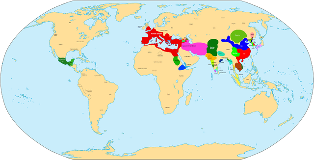
| Description | Map of main world civilizations in 250 CE/AD |
| Date | 20 May 2007 |
| Source | Own work |
| Author | Javierfv1212 |
| Maps of world history | |
| BC |
2000 · 1000 · 500 · 400 · 323 · 300 · 200 · 100 · 50 |
|
|
|
| AD |
1 · 50 · 100 · 200 · 250 · 300 · 400 · 500 · 700 · 750 · 820 · 900 · 1959 · 1980 · |
|
Maps of colonization history |
|
|
see also: Eastern Hemisphere only maps template (1300BC-1500AD) |
|
| (this template: · view · discuss ) | |
Licensing
 |
I, the copyright holder of this work, release this work into the public domain. This applies worldwide. In some countries this may not be legally possible; if so: I grant anyone the right to use this work for any purpose, without any conditions, unless such conditions are required by law.
|
File usage
The following pages on Schools Wikipedia link to this image (list may be incomplete):
Schools Wikipedia and SOS Children
Wikipedia for Schools is one of SOS Children's many educational projects. More than 2 million people benefit from the global charity work of SOS Children, and our work in 133 countries around the world is vital to ensuring a better future for vulnerable children. We have helped children in Africa for many years - you can help too...