 |
This is a file from the Wikimedia Commons. Information from its description page there is shown below.
Commons is a freely licensed media file repository. You can help.
|
Summary
| Description |
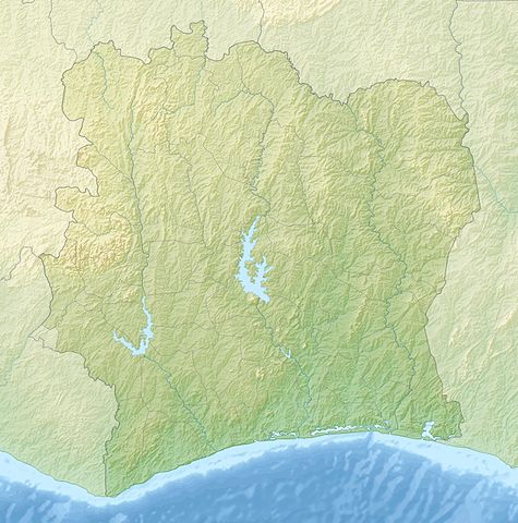
English: Relief location map of Côte_d'Ivoire.
- Projection: Equirectangular projection, strechted by 101.0%.
- Geographic limits of the map:
-
- N: 11.0° N
- S: 4.0° N
- W: -9.0° E
- E: -2.0° E
- GMT projection: -JX23.706666666666667cd/23.94373333333333cd
- GMT region: -R-9.0/4.0/-2.0/11.0r
- GMT region for grdcut: -R-9.0/4.0/-2.0/11.0r
- Relief: SRTM30plus.
- Made with Natural Earth. Free vector and raster map data @ naturalearthdata.com.
|
| Date |
9 December 2010 |
| Source |
Own work |
| Author |
Uwe Dedering |
Licensing
I, the copyright holder of this work, hereby publish it under the following licenses:
 |
Permission is granted to copy, distribute and/or modify this document under the terms of the GNU Free Documentation License, Version 1.2 or any later version published by the Free Software Foundation; with no Invariant Sections, no Front-Cover Texts, and no Back-Cover Texts. A copy of the license is included in the section entitled GNU Free Documentation License. http://www.gnu.org/copyleft/fdl.htmlGFDLGNU Free Documentation Licensetruetrue
|
You may select the license of your choice.
|
File usage
The following pages on Schools Wikipedia link to this image (list may be incomplete):
Wikipedia for Schools was collected by SOS Children. SOS Children believes that a decent childhood is essential to a happy, healthy. Our community work brings families new opportunities through education, healthcare and all manner of support. Want to learn more? Go to http://www.soschildrensvillages.org.uk/sponsor-a-child


