
File:Southampton from OpenStreetMap.png
Southampton_from_OpenStreetMap.png (460 × 394 pixels, file size: 261 KB, MIME type: image/png)
| |
This is a file from the Wikimedia Commons. Information from its description page there is shown below.
Commons is a freely licensed media file repository. You can help. |
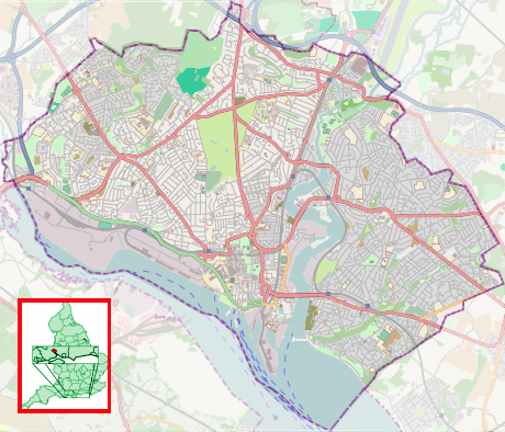
| Description | This map was created from OpenStreetMap project data, collected by the community. This map may be incomplete, and may contain errors. Don't rely solely on it for navigation.
|
||||||||||||
| Date | (see file history) | ||||||||||||
| Source | openstreetmap.org | ||||||||||||
| Author | OpenStreetMap contributors | ||||||||||||
| Permission ( Reusing this file) |
OpenStreetMap data and maps are licensed under the Creative Commons Attribution-ShareAlike 2.0 license (CC-BY-SA 2.0).
|
||||||||||||
File usage
The following pages on Schools Wikipedia link to this image (list may be incomplete):
Metadata
The best way to learn
Learning is fun and easy with Schools Wikipedia. The world's largest orphan charity, SOS Children brings a better life to more than 2 million people in 133 countries around the globe. Help another child by taking out a sponsorship